Levant
Revealing our diversity and unity as humans living together
The southern Levant refers to an area encompassed by modern Israel, Jordan, and Palestine. Canaan is the ancient name of this region, and a Canaanite culture was prominent until the Iron Age, when the kingdoms of Israel and Judah dominated. Owing to its proximity to the Mediterranean coast to the west, Egypt to the south, and Syria to the north, its material culture reflects the mix of peoples, traditions, and customs that passed through the region by way of trade and migration.
The Oriental Institute’s projects in the Levant have helped to reconstruct the millennia of cultural contact stretching back to the prehistoric period. From the petroglyphs of the Black Desert to biblical Armageddon and the mosaics of Mafjar, the OI continues to reveal the material traces of life in the Levant during antiquity.

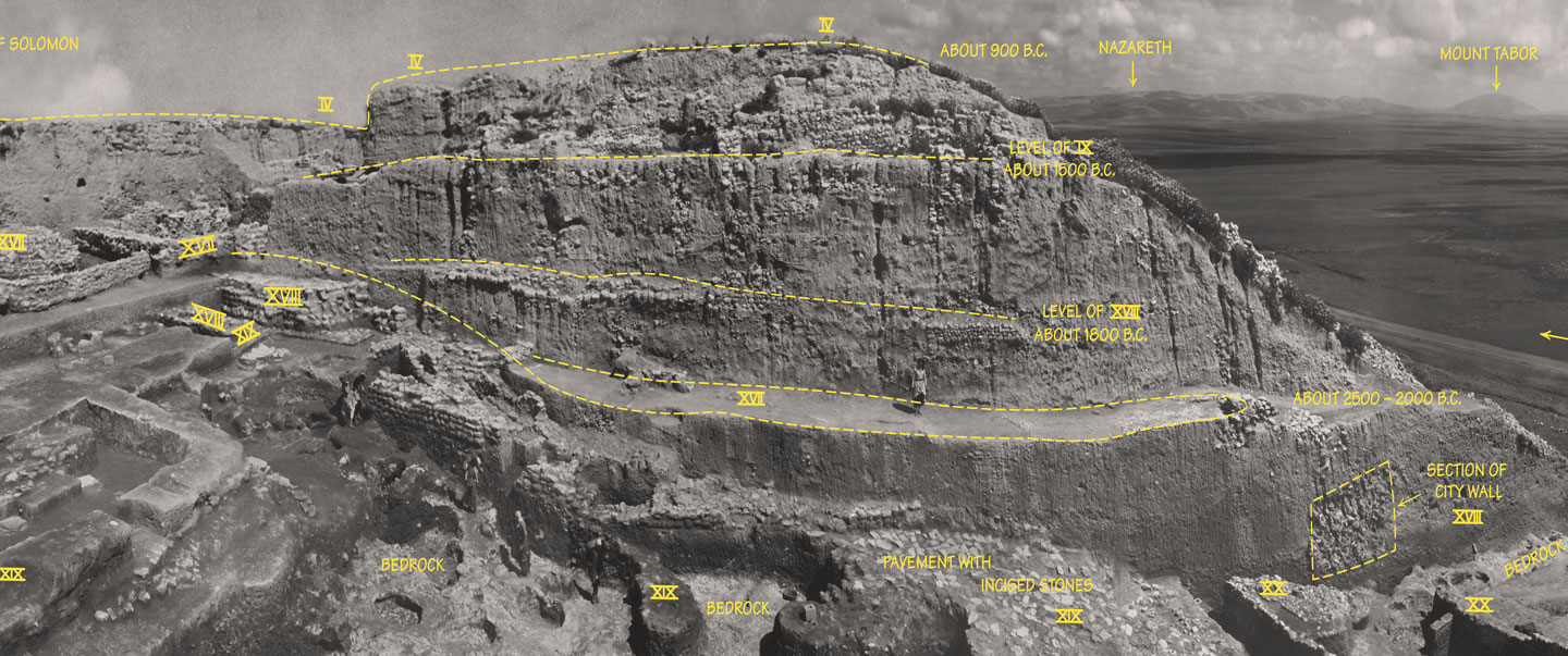
Periods of settlement at Megiddo
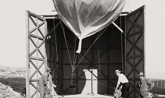
Aerial photography at Megiddo using a meteorological balloon, 1931
Megiddo: A nexus for trade and warfare
32.5779º N, 35.1800º E
The city of Megiddo was strategically located on the most important land route in the ancient Middle East, linking Egypt and the Mediterranean world with western Asia. Consequently, Megiddo dominated international movement for thousands of years. As a nexus for trade and warfare over the millennia, Megiddo experienced a tremendous confluence of both international culture and political power. Bronze Age Megiddo was the center of a Canaanite city-state. Later, Iron Age Megiddo served as an administrative center of the northern kingdom of Israel. Megiddo witnessed so many military conflicts throughout history that it served as the setting for the biblical Armageddon (Hebrew Har Megiddo, “Mount of Megiddo”), the penultimate battle between good and evil in the Book of Revelation.
The OI excavations at Megiddo were the largest ever in the history of archaeological research in Israel. OI archaeologists revealed a core stratigraphic sequence for Bronze and Iron Age Megiddo, reconstructing its history by studying the deposition of strata over time. Ultimately, the Oriental Institute excavations laid the foundations for archaeology in the Levant.
Excavating at Tell Keisan (Photo Andrew Wright)
< br/> Aerial view of Tell Keisan
Tell Keisan: Uncovering a Phoenician walled town
32.5223º N, 35.9288º E
Tell Keisan (Tel Kison) is a prominent six-hectare (fifteen-acre) mound located nine miles northeast of Haifa, near the ancient border between coastal Phoenicia and the kingdom of Israel. It was a walled town that served as a gateway between the Mediterranean coast and people living farther inland. In biblical times, this site was occupied by the Phoenicians who established colonies around the Mediterranean and had close economic and cultural relations with the Israelites. Tell Keisan thus provides unique insight into new methods of shipping, trade, and communication that were pioneered by the seafaring inhabitants of the coast (and adopted by the Greeks), altogether transforming the ancient economy.
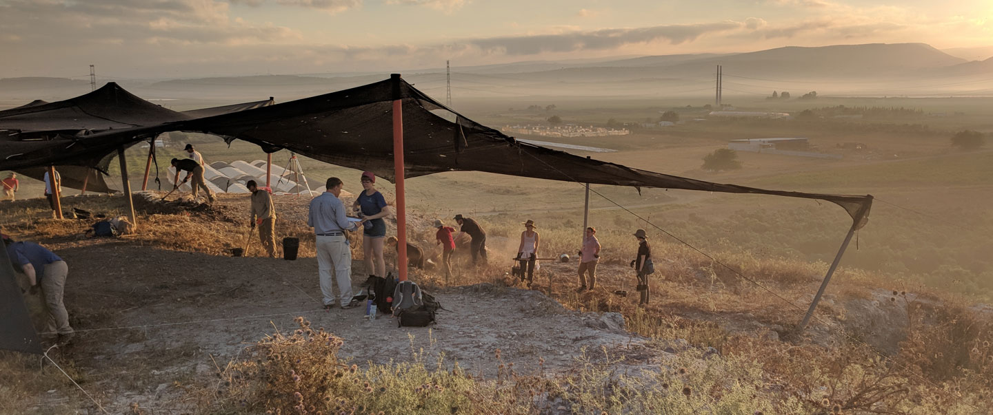
Ongoing excavations by the OI, in partnership with Ben-Gurion University of the Negev, investigate the cultural and economic interactions between Phoenicia and Israel from the time of David and Solomon until the Assyrian conquest of the region in the eighth century BCE, unearthing new information about the dynamic and influential Phoenician culture of the Iron Age.
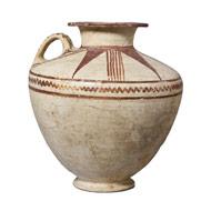
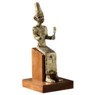
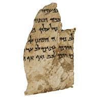
OI Museum Artifacts
![]()
