A Special Exhibition at the ISAC Museum
April 25 – August 18, 2024
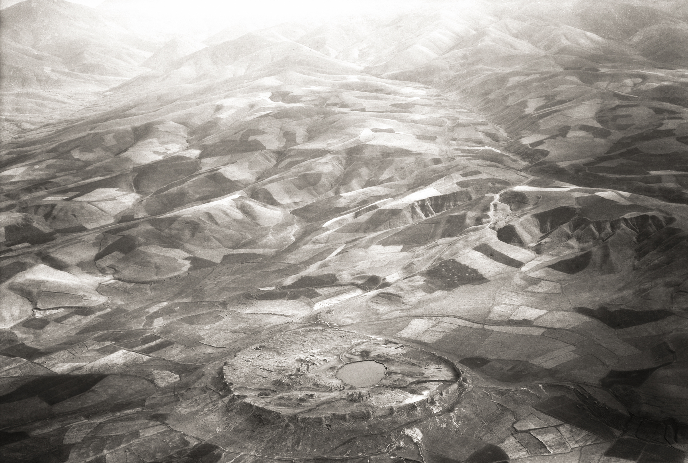
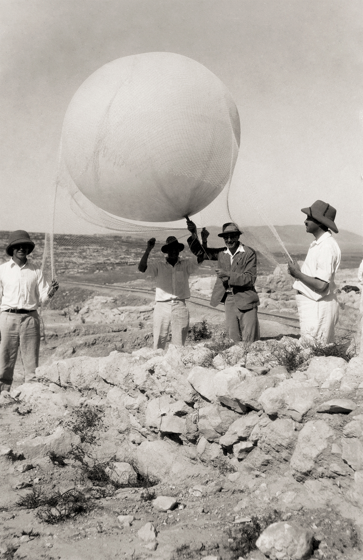
In 1858 French photographer Gaspar Félix Tournachon, known as “Nadar,” took the first successful aerial photograph, capturing from a hot air-balloon a perspective of the world that few would experience until the introduction of airplanes at the turn of the century. This photograph—of the neighborhood of Petit-Bicêtre (now Petit-Clamart) near Paris—made clear to both its creator and generations of archaeologists who followed the value of this technique for mapping the earth. Foreseeably, aerial imagery has been responsible for the discovery of more archaeological sites than any other survey method. Working with balloons, kites, airplanes, and drones, archaeologists have captured, in a single shot, landscapes that are millennia old and miles wide. Some photographs show isolated sites, while others reveal a mosaic of settlements. Such is the case for the aerial imagery of West Asia, where ISAC scholars have been advancing the discipline of aerial archaeology for close to a century. Join us for a bird’s eye view of this journey over the ancient past.
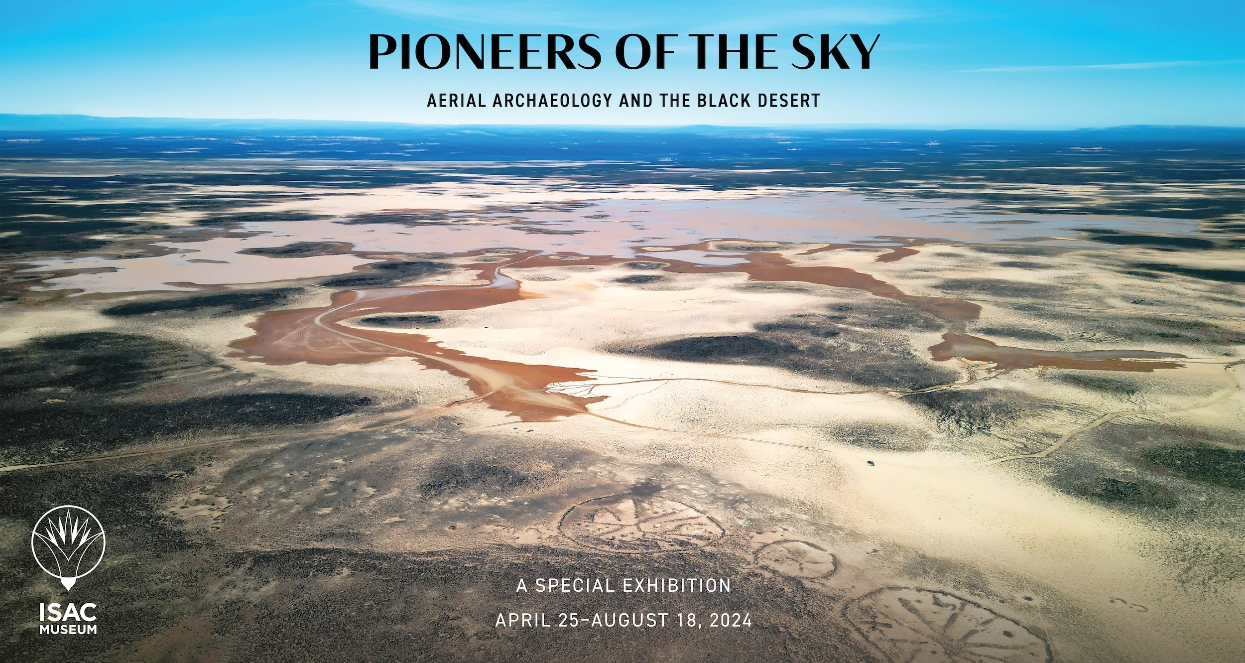
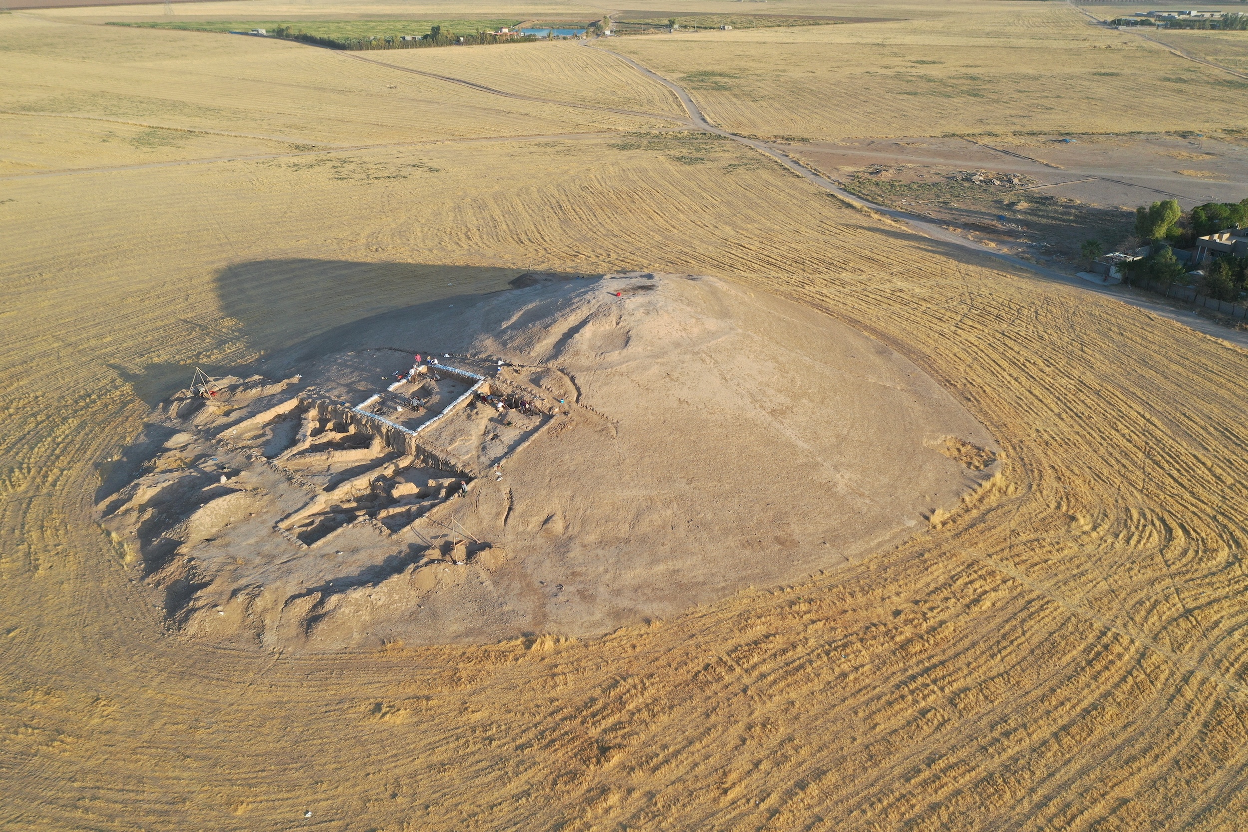
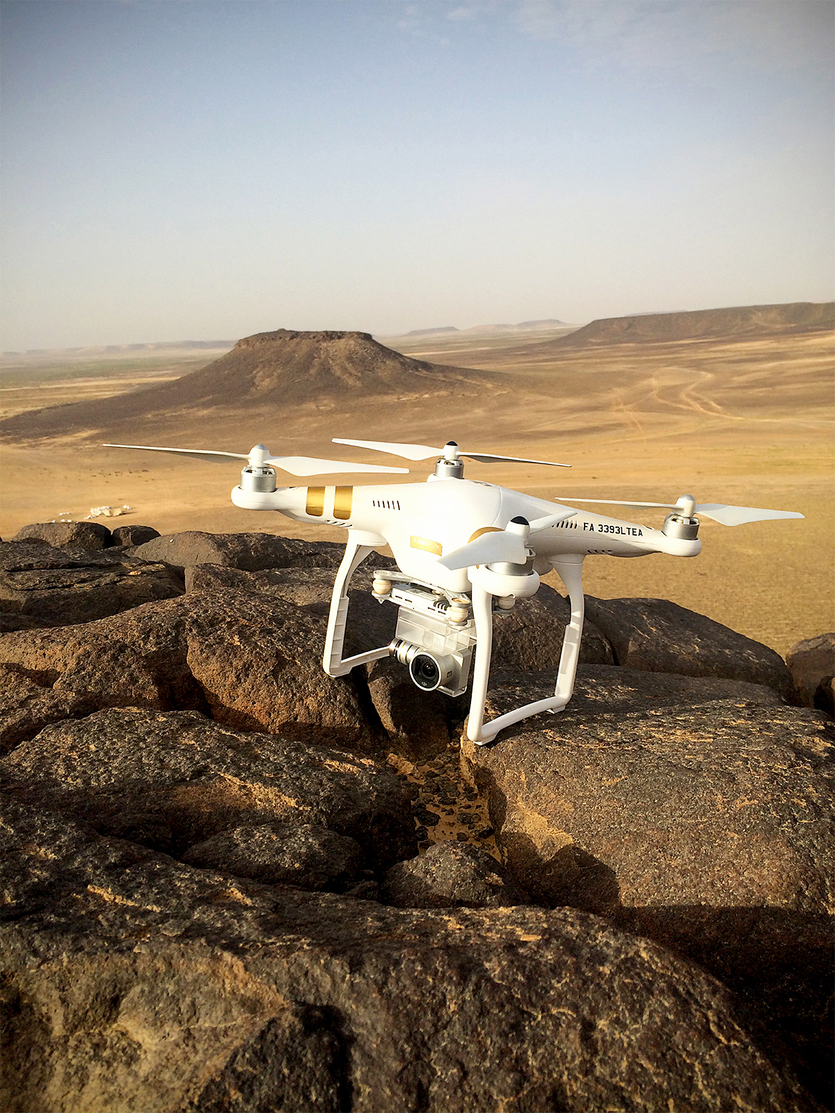
The exhibition, curated by landscape archaeologist Marie-Laure Chambrade, begins with the 1920s balloon photography of ISAC's Megiddo Expedition and the 1930s Aerial Survey Expedition in Iran that was part of ISAC's Persian Expedition. The 1990s saw exceptional advances in the field of aerial archaeology, including developments in geographic information systems (GIS) and remote sensing techniques, as well as the declassification of Cold War–era satellite imagery and the founding of ISAC's Center of Ancient Middle Eastern Landscapes (CAMEL). Concluding the exhibition is a look at aerial archaeology in the Black Desert of Jordan, featuring previously unpublished snapshots and video footage of this “archaeological paradise.”
FROM THE EXHIBITION
William M. Sumner, who excavated the Elamite capital at Anshan (Tai-i Malyan) in south-western Iran, wrote to tell me that when he saw an aerial photograph of the site that I had taken when the sun was low in the sky, he saw and understood more in ten minutes than he had done in ten years of regular work on the ground.
G. Gerster, The Past from Above: Aerial Photographs of Archaeological Sites, 2005
 |
 |
 |
Exhibition Materials
- Download the Press Release Pioneers of the Sky: Aerial Archaeology and the Black Desert
- Download the Children's Activity Booklet Fly with Dana over the Past
Exhibition Programming
- Exclusive Exhibition Preview, April 24, 5:00–8:00pm (in-person) — Not yet a member? Become one today!
- ISAC Lecture, "'Flying Under a Screen of Clouds': A Snapshot of Aerial Archaeology in West Asia," with Marie-Laure Chambrade, May 14, 7:00pm CT (in-person and online)
- ISAC Lecture with Yorke Rowan, June 26th, 7:00pm CT (in-person and online)
Related Content
- Download the ISAC publication Flights Over Ancient Cities of Iran (1940)
- View photographs from ISAC's 1930s Aerial Survey in Iran
- Watch the ISAC lecture, "Kites, Tombs, and Houses in the 'Land of Conjecture'" with Yorke Rowan, ISAC research associate professor (March 7, 2018)
- Learn more about the Western Harra Survey
- Learn more about ISAC's Center for Ancient Middle Eastern Landscapes (CAMEL)
- Watch "Persepolis From the Air," a film created by CAMEL for the ISAC Museum's special exhibition, Persepolis: Images of an Empire (2015–2016)
- Download CAMEL's research report from ISAC's 2022–2023 annual report
- Learn more about Kites in Contact
- Download the Kites in Context project report from ISAC's 2022–2023 annual report
- Download the Surezkha Excavations project report from ISAC's 2022–2023 annual report
- Download the Cultural Heritage Preservation Projects in Afghanistan and Central Asia: Afghan Heritage Mapping Partnership project report from ISAC's 2022–2023 annual report
- Visit the Eastern Badia Archaeological Project (EBAP)'s Facebook page
- Download the Eastern Badia Archaeological Project (EBAP) project report from ISAC's 2020–2021 annual report
- Explore the Aerial Photographic Archive for Archaeology in the Middle East (APAAME)
- Explore the CORONA Atlas of the Middle East
Check back soon for updates!
This special exhibition is supported by The European Union’s Horizon 2020 research and innovation program under the Marie Skłodowska-Curie grant agreement N°101033178 (project MARGINS 2022–2025, CEPAM – CNRS UMR 7264) and ISAC Museum Visitors and ISAC Members.
This exhibition has been curated by Marie-Laure Chambrade, and organized by the ISAC Museum: Robert Bain, Anne Flannery, Marc Maillot, Kiersten Neumann, and Joshua Tulisiak.
Additional media and support has been provided by Alison V.G. Betts, The University of Sydney; Aerial Photographic Archive for Archaeology in the Middle East (APAAME), based in the School of Archaeology, University of Oxford, including Robert Bewley and David Kennedy; Center for Ancient Middle Eastern Landscapes (CAMEL), including Christian Borgen, Joseph Harris, Dominik Lukas, Harrisson Morin, and Mehrnoush Soroush; Eastern Badia Archaeological Project (EBAP) and Kites in Context (KiC), including Austin “Chad” Hill and Yorke M. Rowan; Surezha Archaeological Project, including Gil J. Stein; and the Western Harra Survey (WHS), including Marie-Laure Chambrade and Stefan Smith.
Fieldwork in the Black Desert and Surezha has been authorized by the Department of Antiquities of the Kingdom of Jordan and the General Directorate of Antiquities of the Kurdistan Region of Iraq, respectively.
