CAMEL Projects
CAMEL engages in a number of landscape-scale research and cultural heritage projects. The goals of these projects include:
- to train graduate and undergraduate students in the use of geographical information systems (GIS) for archaeological, historical, and cultural heritage research,
- to provide student research, publication, and presentation opportunities, and
- to collaboratively develop innovative methods and approaches within the field of Near Eastern landscape archaeology.
Please see individual linked pages for the projects (some are under construction):
Current Projects
Archaeological Heritage: The Afghan Heritage Mapping Project
Department of State-funded project with database-building, heritage analysis, landscape archaeology, and Afghan training components.
Historical Aerial and Satellite Imagery: New Data Sources, Mapping Desert Kites, and Generating Historical DEMS
CAMEL has been at the forefront of efforts to access and utilize new sources of historical imagery that were recently declassified in 2013, particularly U2 aerial imagery (mostly captured 1959-1960) and HEXAGON satellite imagery (captured 1971-1984). CAMEL has most extensively used these new sources of historical imagery for a project focused on desert kites (mass-kill traps) and other stone structures preserved on the surface of the basalt desert (harra) of eastern Jordan. The lab also has a methodology project that refines ways of generating historical topographical models from CORONA imagery (high resolution images from the late 1960s and 1970s).
|
|
|


GIS and Historical Geography: The Anatolian Atlas Project
CAMEL is building an online atlas of Anatolian archaeological sites that can serve as a useful research tool as well as a venue for displaying new research. Graduate student Joshua Cannon and undergraduate researcher Rolland Long are creating a website that displays geographic and bibliographic data on central Anatolian archaeological sites in order to highlight and re-assess debates in historical geography for the Hittite period. [website coming soon]
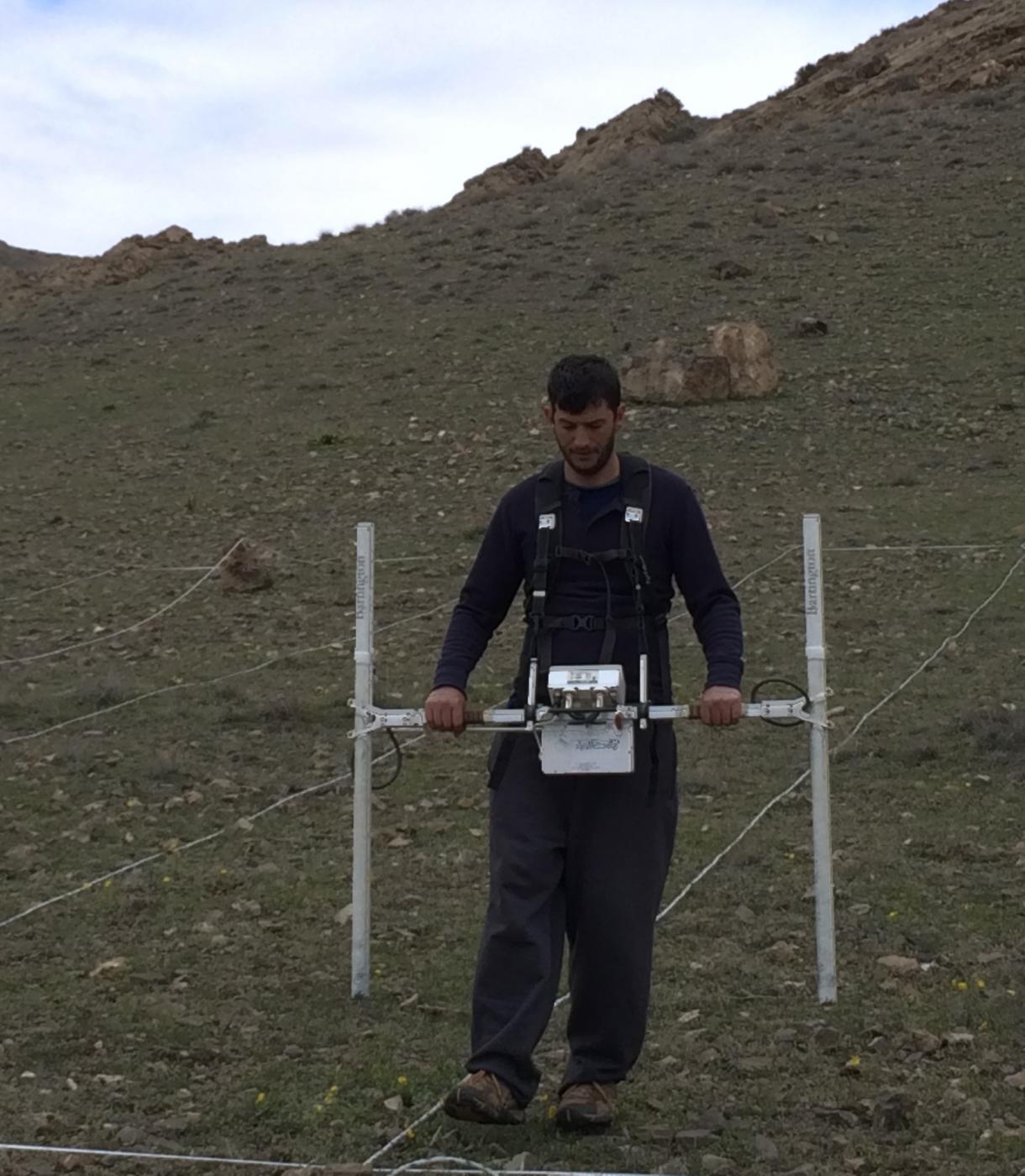
Hands-on Training in Archaeological Survey Techniques
The CAMEL lab provides training in the use of total stations, geophysical survey equipment, drone photography, and photogrammetry.

Past Projects (since 2014)
"Persepolis from the Air"
Using 1936 aerial photographs taken by Erich Schmidt, CAMEL created a 3D model of the World Heritage site of Persepolis, Iran, at the time of its first excavations. This project was led by then-graduate student Jennifer Altman-Lupu. A video of the model is currently on display in the Persepolis: Images of an Empire exhibit in the Institute for the Study of Ancient Cultures Museum, as well as on the Institute for the Study of Ancient Cultures YouTube channel. The data used for the project has been made available through a page on Harvard World Map.
 A 1936 aerial photograph of Persepolis taken by Erich Schmidt. |
 The 3D model of Persepolis developed from archival photographs. |
